Key takeaways
Map and compass guide skills are the one navigation layer that never runs out of battery. This roundup compares five field-tested compasses and maps across features, accuracy, and value, from a premium mirror-sighting compass to a waterproof topo map, so you can navigate confidently deep in the backcountry when your electronics die.
As an Amazon Associate we earn from qualifying purchases.
Our top picks
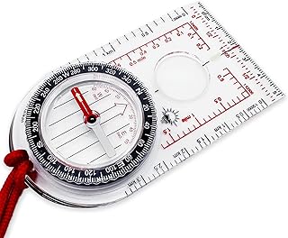


As an Amazon Associate we earn from qualifying purchases at no extra cost to you. Ratings are shown as listed on Amazon.
By Jake Thompson
How to Use a Map and Compass Guide
A map and compass work as a pair, and choosing them well makes learning easier. This map and compass guide asks three things before you buy: whether you need declination adjustment, whether you travel between hemispheres, and how precise your navigation must be. Those answers point you to the right tools.
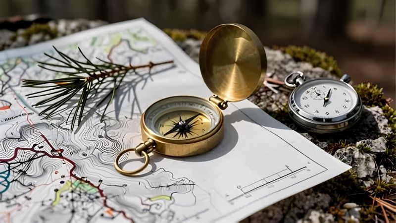
Declination Adjustment
Declination is the gap between magnetic north and true north, and it varies by location. A compass with adjustable declination lets you set that offset once, so every bearing you take is automatically corrected without mental math in the field, which matters most when you are tired or stressed.
Beginners can start without it, correcting by hand, but it is easy to make mistakes that way. A good map and compass guide recommends adjustable declination for anyone doing real off-trail navigation, since setting it once removes a common and potentially serious source of error.
Global Needle and Hemisphere
A compass needle is balanced for a hemisphere because Earth’s magnetic field pulls it vertically as well as horizontally. A northern-hemisphere compass reads accurately in the north, a southern model in the south, and a global needle works anywhere in the world without dragging or sticking.
Choosing the wrong balance is the most common buying mistake. If you ever travel between hemispheres, a global needle is essential. If you only hike locally, a hemisphere-specific compass is cheaper and works fine, so match the needle to where you actually navigate.
Mirror, Clinometer, and Map Features
Extra features add precision. A sighting mirror lets you aim at a distant landmark while reading the bearing, boosting accuracy for off-trail work. A clinometer measures slope angle, useful for assessing avalanche terrain, and luminous markings help in low light. Casual hikers may not need all of these.
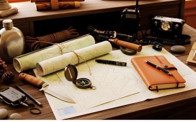
The map matters as much as the compass. A waterproof, tear-resistant topographic map shows terrain, trails, and features clearly, and a good map scale on the compass lanyard speeds measurement. This map and compass guide treats a quality topo map as an equal partner to the compass itself.
Top Picks: The Best Map and Compass Tools
With those factors in mind, this map and compass guide lines up five field-tested tools, from serious mirror compasses to a fail-safe topo map. The table sums up the essentials, and the reviews below explain who each one suits and the trade-offs to weigh before you buy.
| Item | Type | Key Feature | Best For |
|---|---|---|---|
| Suunto MC-2 | Mirror compass | Declination and clinometer | Serious navigation |
| Silva Ranger 2.0 | Mirror compass | Adjustable declination | Value mirror |
| Suunto A-10 | Baseplate compass | Simple and light | Beginners |
| Brunton TruArc 3 | Baseplate compass | Global needle, US-made | Budget global |
| Nat Geo Trails Illustrated | Paper map | Waterproof topo | The map itself |
Suunto MC-2 – Best Overall
The Suunto MC-2 is the workhorse of serious navigation. Its large sighting mirror enables precise bearings, adjustable declination corrects magnetic offset automatically, and a built-in clinometer plus a global-needle option make it capable anywhere in the world, from local ridgelines to international expeditions.
It costs a premium and packs more features than casual hikers need. But for off-trail travel where accuracy matters, its precision and durability make it a lifelong investment that rewards learning to use it fully.
Silva Ranger 2.0 – Best Value Mirror
The Silva Ranger 2.0 delivers a full-featured mirror compass at roughly half the price of premium models. It offers a sighting mirror, adjustable declination, a clinometer, a magnifier, and luminous markings, plus a map-scale lanyard, making it an excellent all-rounder for hikers stepping up to precise navigation.
Some users report occasional bubble formation in the capsule, and its glow markings fade faster than premium rivals. But for the features and accuracy per dollar, it is the standout value mirror compass in this map and compass guide.
Suunto A-10 – Best for Beginners
The Suunto A-10 is the simple, reliable compass to learn on. It is light, inexpensive, and easy to use, with clear markings and a durable baseplate that covers the fundamentals of taking bearings and orienting a map without overwhelming a new navigator with extra dials and features.
It lacks a sighting mirror, adjustable declination, and luminous numbering, so it is not built for precise off-trail work. But as a first compass or a lightweight backup, its straightforward reliability is exactly what beginners need.
Brunton TruArc 3 – Best Budget Global
The Brunton TruArc 3 packs a global needle into an affordable, US-made compass. It works accurately in any hemisphere, weighs almost nothing, and teaches solid navigation fundamentals at a very low price, making it a smart choice for travelers and budget-minded hikers who still want global capability.
Its declination adjustment can be stiff to set, and it lacks the mirror and clinometer of premium models. But for a rugged, inexpensive global compass that goes anywhere, it offers hard-to-beat value.
Nat Geo Trails Illustrated – Best Map
A compass is useless without a good map, and the National Geographic Trails Illustrated series is the standard. Printed on durable, waterproof, tear-resistant material, it shows trails, terrain, and landmarks clearly for an entire area, giving you the big picture that no small screen can match.
It covers only its printed region and demands basic map-reading skill. But as the fail-safe partner to your compass, a quality topo map is the one navigation tool that never fails, making it essential for any backcountry kit.
Frequently Asked Questions
A few questions come up again and again when hikers read a map and compass guide. Here are quick, practical answers to help you finalize your choice.
Do I really need a compass if I have GPS?
Yes. GPS units and phones fail, lose signal, or run out of battery, while a map and compass never do. They are the reliable backbone of navigation and the only tools guaranteed to work when electronics die. Every hiker heading into the backcountry should carry and know how to use them.
What is declination and why does it matter?
Declination is the angle between magnetic north, where your needle points, and true north on the map. It varies by location and can throw bearings off significantly if ignored. A compass with adjustable declination corrects this automatically, preventing errors that could send you well off course over a long distance.
What kind of map should I carry?
Carry a topographic map of your specific area, ideally printed on waterproof, tear-resistant material. Topo maps show elevation, terrain, and features that road maps lack, which is essential for backcountry navigation. National Geographic Trails Illustrated and USGS quad maps are both trusted, reliable choices for hikers.
How do I learn to use a map and compass?
Start with the basics: orienting the map to the land, taking a bearing, and following it. Practice in a familiar area like a local park before relying on these skills in the wilderness. A short class or online tutorial plus repeated practice builds the confidence to navigate anywhere.
See More:
- Best camp chair
- Lightweight camp chair
- Camping table review
- Backpacking cookware set
- Camp stove review
Final Thoughts
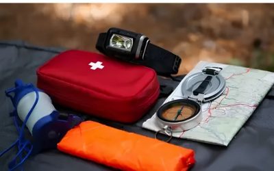
A good map and compass guide is really about carrying reliable tools and knowing how to use them. The Suunto MC-2 leads for serious navigation, the Silva Ranger 2.0 offers the best value, and the A-10 and TruArc 3 cover beginners and budgets, while a Trails Illustrated map completes the kit. Learn the skills, carry the tools, and you can navigate anywhere without a battery.